The New Yorker, September 2014
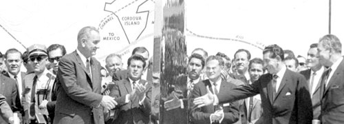
This essay explores the ambiguities and politics of border-making through the history of the Chamizal, an area of about seven hundred acres contested by Mexico and the United States for a century. In the mid-19th century, American and Mexican boundary surveyors established that the border between the two countries would be located at the Rio Grande’s deepest point, but political difficulties arose when the river flooded, geographically connecting what had been established as Mexican territory to the United States’ side of the river. The river’s disinterest in serving as a stable boundary-marker proved a thorny issue between states, even as migrants to the Chamizal built a dynamic, cross-border social world.
